As a partner of industry, private investors and administration we solve complex problems from basic evaluation to monitoring of environmental impact.
Our competence and experience is the basis for our work.
Königsberger Str. 5
30938 Burgwedel / OT Wettmar

We develop concepts for the rewetting of moors and the retention of water in the area in order to sustainably counteract the effects of climate change. This includes the construction of smaller dams, automatically movable weirs and all the necessary monitoring of water levels and groundwater levels.

We have accompanied the major port expansions (berths 8 and 9 in Cuxhaven, north berth in Stade-Bützfleth) and new constructions (Jade-Weser Port) of recent decades with hydronumerical modelling of tidal water levels, current velocities and sedimentological investigations and observations, and created the conditions for subsequent implementation with supplementary natural measurements.

We calculate the mixing processes of cooling water and substances in (tidal) rivers and lakes for complex tasks with density and temperature influences and carry out all the necessary natural measurements. Typical applications are large power station constructions in tidal areas or the management of reservoirs for drinking water production.

Disponemos de equipos de alta calidad, como células de presión, sistemas DGPS con su propio bais y dispositivos ADCP (incluido un ROV para medir corrientes de hasta 7 m/s) para registrar niveles de agua y velocidades de flujo. También disponemos de sondas para medir la conductividad y sondas multiparamétricas para medir el nitrato, el valor pH y el potencial redox.

Königsberger Str. 5
30938 Burgwedel / OT Wettmar
Tel.: +49 (0) 5139 – 402799 – 0
Fax: +49 (0) 5139 – 402799 – 8
E-Mail: mail@matheja-consult.de
MATHEJA CONSULT
Survey Equipment
2 x Trimble DGPS 5700 (one system with radio antenna), Trimble Ltd.
Trimble DGPS 5700 (with with radio antenna), Trimble Ltd.
Trimble DGPS R6 GPS/Glonass
Tachymetric Device Geodimeter 610 (Robotic), Trimble Ltd.
Computer Technology
7 Double-Prozessor PCs, each with 4 GB RAM
4 Quad Core PCs, each with 16 GB RAM for numerical simulations
18 Quad Core Cluster Nodes, each with 8 GB RAM for numerical simulations
File Server with 16 Terra Byte capacity
A0 colour printer, A3/A4 colour printer
Bearing Equipment
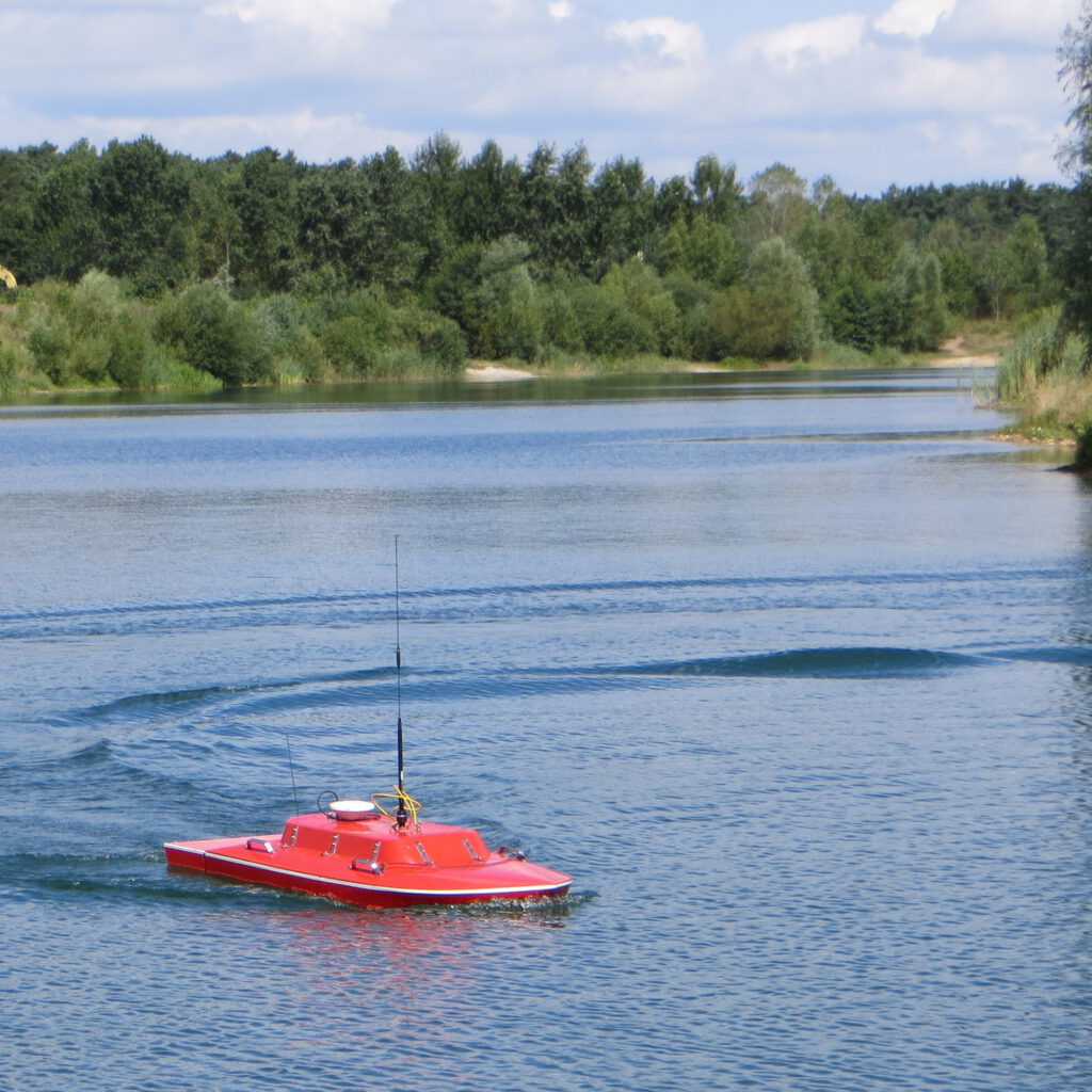
Boat for hydrographic surveys and measurements (L=3,5 m, zerlegbar, Tiefgang = 0,2 m, 18 PS Tomatsu, with trailer)
Boat for hydrographic surveys and measurements (L=6,5 m, Tiefgang = 0,8 m, 2 x 60 PS Mercury, with trailer) for estuaries
Ponton (2 x 4 m) for measurements
Multi- Frequence Single Beam Echo Sounder BBES 200/15, Dr. Fahrentholz Ltd.
Equipment for Flow Velocity Measurements
Current meter ZS 25GFA for shallow water, Höntzsch Inc.
Current meter M1 and M5, SEBA Hydrometrie Inc.
ADCP Stream Pro, RD Instruments Teledyne Inc.
ADCP Rio Grande Workhorse, RD Instruments Teledyne Inc.
Equipment of a typical gauging station maintained by our office
Turbidity probes, Titan model (CTM 131/CTD 60M), Sea & Sun Ltd*.
Pressure sensors for waves 10 Hz and 12 x Mini Diver, Eijkelkamp / Schlumberger Ltd.*
Pressure sensors Mini Diver, Eijkelkamp / Schlumberger Ltd.*
(*typically we have about 50 pieces in stock)
GIS System ArcVIEW
AutoCAD Civil 3D (drwaing , model preparation, projecting)
Janet (model preparation, grid generation)
Hydrological numerical models
Evaluation software